Visitor Information Services
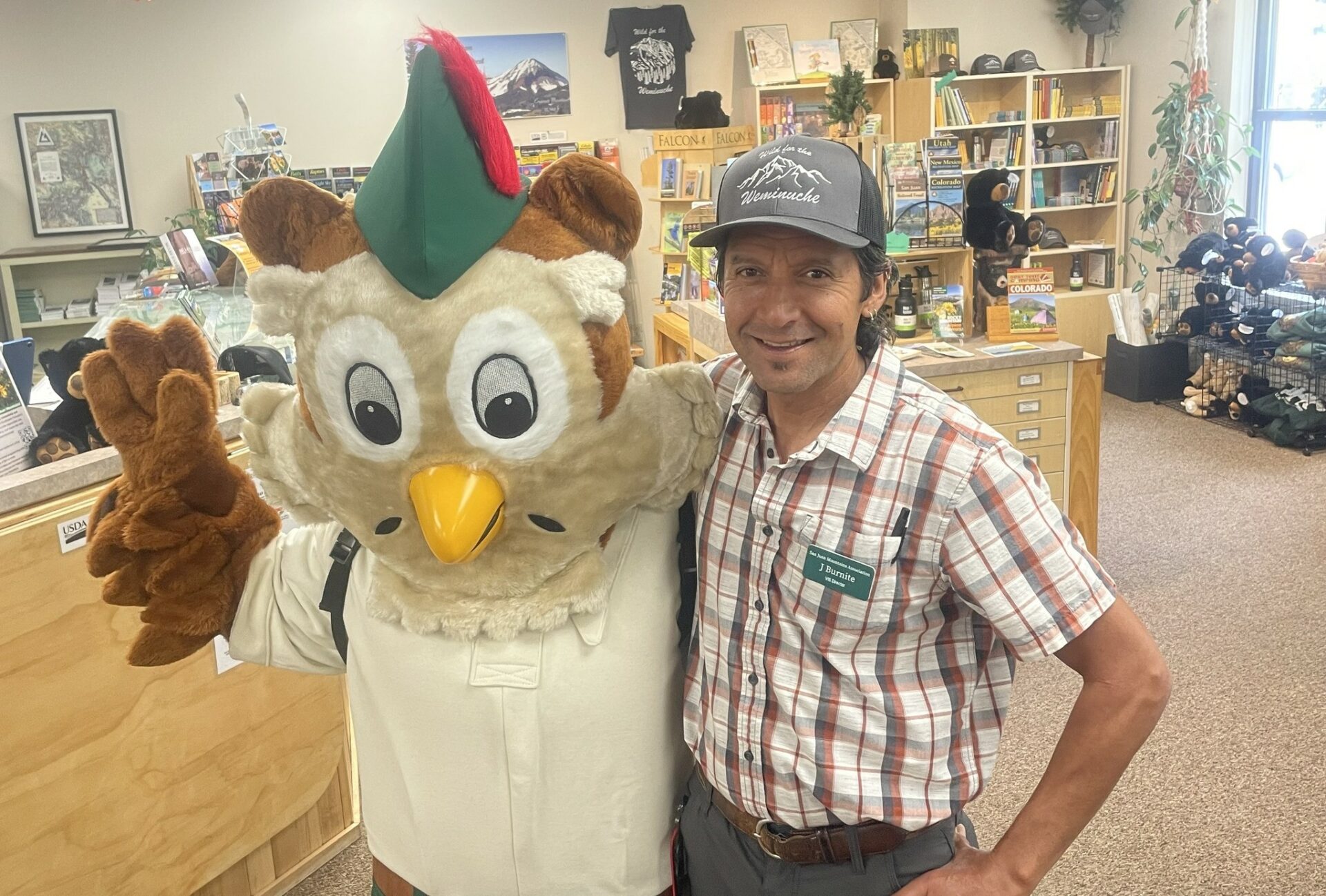
Located at the front desk in local National Forest offices throughout Southwest Colorado, SJMA’s interpretive bookstores are your one-stop-shop for local public lands information and resources. Whether you’re interested in hiking, mountain climbing, mountain biking, off-highway vehicle adventuring, hunting, fishing, or simply relaxing around a campfire in one of the many local campgrounds, we have numerous books, maps and brochures to help plan your visit.

Let Us Help You Plan Your Next Adventure
Our visitor information specialists around the region do our best to maintain up-to-date information on trail conditions, fire restrictions, the status of campgrounds and mountain roads, so let us help you plan your next trip!
In addition, it is important to understand how to recreate responsibly by reducing your impact in Colorado’s backcountry. Make sure to review forest and wilderness regulations, as well as Leave No Trace Principles. Let’s protect these wildly beautiful lands by treating them with the respect they deserve.
Visitor Information Center Locations
SJMA Visitor Information Specialists are located all around the Southwest Colorado Region from Durango to Del Norte to Pagosa Springs and more! Not only will you find ways to improve your adventure plans, but you will find a retail outlet teeming with maps, guidebooks, clothing and gift ideas. All proceeds support SJMA’s stewardship and conservation education programs in southwest Colorado!
Find a visitor center location nearest to you.
San Juan National Forest Offices
- Supervisors Office: 15 Burnett Ct, Durango, CO (970) 247-4874
- Open Monday, Tuesday, Thursday, and Friday from 9:00am to 3:00pm. Closed on Wednesdays.
- Dolores Ranger District Office: 29211 CO Highway 184, Dolores, CO (970) 882-7296
- Open Monday–Friday, 8:00am to 4:30pm
- Pagosa Ranger District Office: 180 Pagosa St, Pagosa Springs, CO (970) 264-2268
- Open Monday–Friday, 8:00am to 4:30pm
- Columbine Ranger District Office: 367 S Pearl St, Bayfield, CO (970) 884-2512 (SJMA retail outlet only):
- Open Friday only, 10:00am to 4:30pm
Closed for all federal holidays.
Rio Grande National Forest Officers
- Divide Ranger District Office: 13308 West Hwy 160, Del Norte, CO (719) 657-3321
- Open Monday-Friday from 8:00am to 4:30pm.
- Divide Ranger District Office in Creede: 304 South Main St. Creede, CO (719)-658-2556 (seasonal)
- Open Monday-Friday from 8:00am to 4:30pm.
- Conejos Peak Ranger District Office: 15571 CR T5 La Jara, CO (719) 849-9577 (SJMA retail outlet only)
- Open Monday-Friday from 8:00am to 4:30pm.
- Saguache Ranger District Office: 46525 CO-114, Saguache, CO (719) 655-2547 (SJMA retail outlet only)
- Open Monday-Friday from 8:00am to 4:30pm.
Closed for all federal holidays.
Grand Mesa, Uncompahgre, Gunnison (GMUG) National Forests
- Norwood Ranger District Office: 1150 Forest, Norwood, CO (970) 327-4261 (seasonal)
- Open Monday-Friday from 8:30am to 4:30pm. Closed for all federal holidays.
Montrose Public Lands Center
- 2505 S Townsend Ave, Montrose, CO (970) 240-5300 (SJMA retail outlet only)
- Open Monday-Friday from 8:00am to 4:30pm. Closed for all federal holidays.
BLM: Silverton Field Office / Alpine Loop
- 1428 Greene St, #101, Silverton, CO (970) 387-9871 (seasonal)
BLM: Gunnison Field Office
- 2500 E. New York Ave., Gunnison, CO 81230 (970) 642-4940
- Open Monday-Friday from 8:00am – 4:30pm. Closed Federal Holidays.
