Chicago Basin Trip Planning
Chicago Basin is situated within the Weminuche Wilderness at 11,200 ft elevation (timberline is 11,800 ft). The combination of convenient access via the narrow gauge train to Needleton and the access to iconic 14ers attracts visitors from around the world making Chicago Basin a heavy use area .
The basin is normally snow-free from late June to mid September. The peak period of visitation is July 4th through Labor Day Weekend. During this period, the train drops off a maximum of 40 people at Needleton on a single day, and there could be over 100 people camping in the Basin at any one time. Crowding during these times can be a problem, making campsites and solitude hard to find.
Want to know more about the area? Check out the history of Chicago Basin.

Access to Chicago Basin
Train Access to Needle Creek

By David Taft
Chicago Basin can be accessed by riding the Durango & Silverton Narrow Gauge Railroad and getting off at Needleton. For schedules, fares and reservations visit the Durango & Silverton Narrow Gauge Railroad website.
- When you board the train, you need to drop off your backpack at the baggage car behind the engine, and then go to your assigned seat in a different car.
- The train stop at Needleton is very brief, so expect yourself and your backpack to be unloaded (or loaded) very quickly.
- The Needleton train stop area and the first ½ mile of the trail going south to the Needle Creek Trailhead is on private lands. This connecting trail exists because of a cooperative agreement with the landowners. Please do not trespass on this private property! Also note that there are no toilet facilities at Needleton.
- Please note, the train may be forced to suspend travel during high fire danger times; therefore plan to carry some extra meals in case you need to hike out to Purgatory Flats or wait a few days for the train to resume travel.
Trail Access to Needle Creek
Johnson Creek, approaching Columbine Pass, By Rachelle Fish
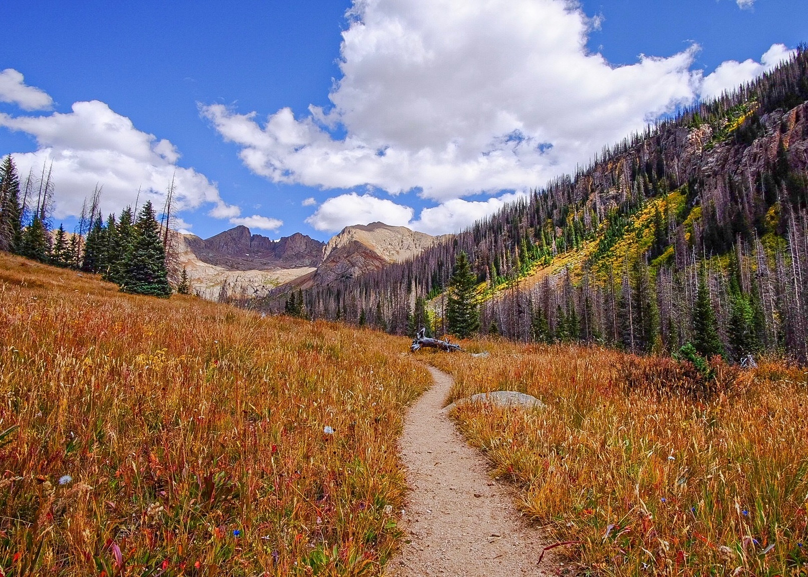
Chicago Basin can be reached by trails from several directions. Coming in by trail will lengthen your trip by one or two days each way. Consult guidebooks and maps and carefully plan your route before you arrive.
Purgatory Flats Trailhead – Access basin from the northwest; total of 14.5 miles
- Start at Purgatory Trail (#511), 4 miles, 1500 ft descent
- Continue on Animas River Trail (#675), 5.5 miles
- Continue up Needle Creek Trail (#504), 5-6 miles to Chicago Basin, 3000 ft ascent
Vallecito Trail – Access from the southeast; total of 17.5miles
- Start at Vallecito Trail (#529), 8.5 miles to Johnson Creek, 2000 ft ascent
- Note: On the Vallecito Trail, the third bridge (counting from the South) across Vallecito Creek is out due to an avalanche in the winter of 2004-2005. The avalanche debris was cleared from the trail in fall 2007. There are no plans at this time to replace the bridge, so it is necessary for hikers to ford the creek. Vallecito Creek can be challenging to ford, and is especially dangerous during the spring runoff (mid May through Mid June) and the summer monsoon season (July-August). Please use good judgment and extreme caution if you choose to ford Vallecito Creek. The ford can be avoided by hiking along the west side of Vallecito Creek for 2 miles, but there is no defined trail and it is difficult and time-consuming. Fording is much easier, if it can be done safely.
- Continue on Johnson Creek Trail (#821) to Columbine Pass where it joins Needle Creek Trail (#504); 9 miles to Chicago Basin, 3800 ft ascent, 1700 ft descent
Needle Creek Trail Description
By David Taft
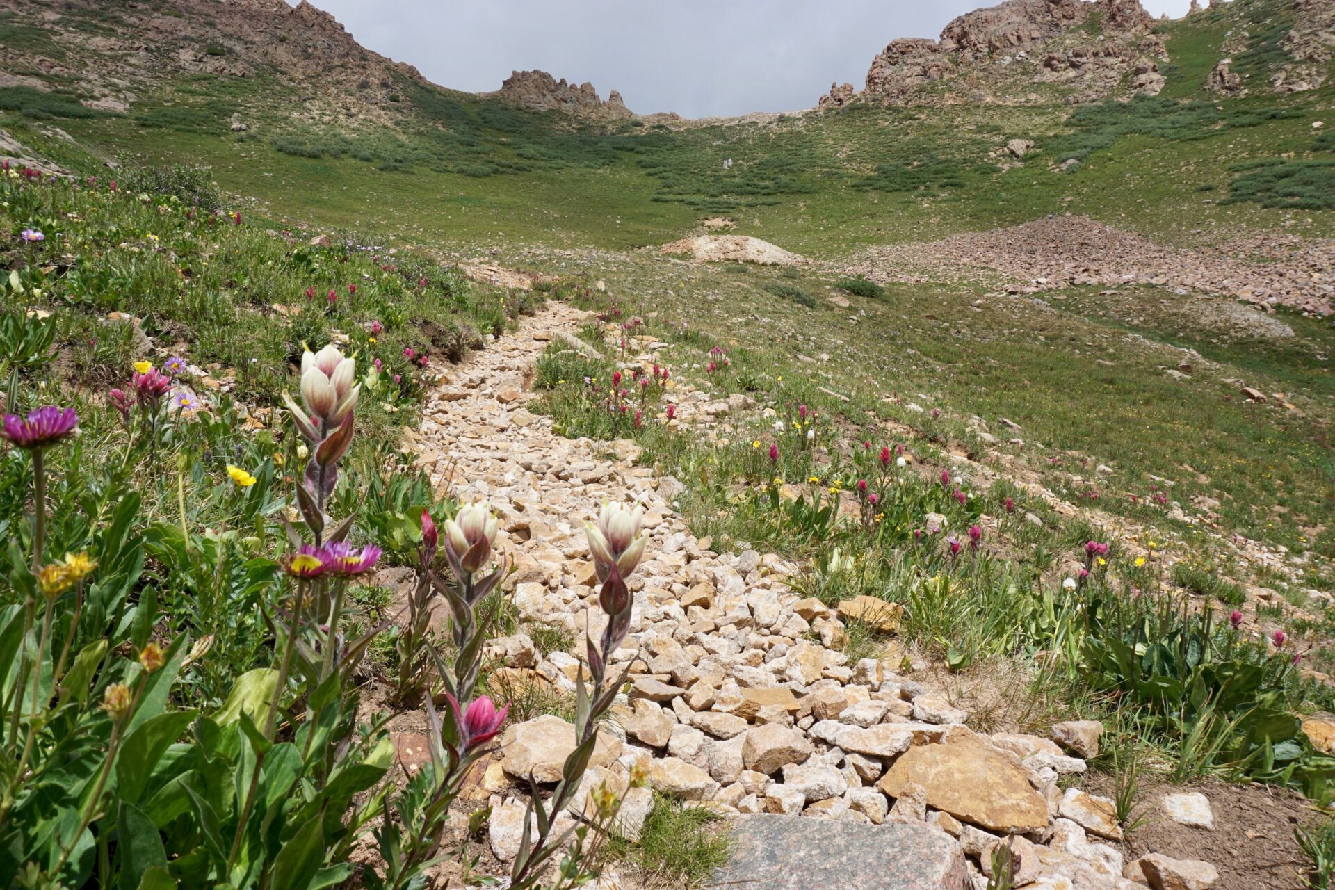
Needle Creek Trailhead is a ½ mile, mostly flat walk south from the train stop. When you get to the trailhead, be sure to sign the register and read the information posted. The well-maintained Needle Creek Trail climbs steadily (around 3000 feet) along Needle Creek to Chicago Basin. Most people arriving by train around 11 AM hike the 5.5-6.5 miles (depending on how far you hike into the basin) to the Basin the same day, arriving in late afternoon. Legal sites along the first 4 miles are limited in number, and are on the left (north) side of the trail. The ones on the creek side are not legal camps because they are not 100 feet from water. Wilderness rangers frequently patrol the trail, and will ask you to move if they find you camping in an illegal site. Hike approximately 5 miles to where the valley becomes more gentle and wider, and there are better campsites to be found on both sides of the trail.
Backpacking Information
Chicago Basin
San Juan National Forest Regulations
To minimize your impact, please review all Weminuche Wilderness and San Juan National Forest regulations. U.S. Forest Service Wilderness Rangers often patrol the area so make sure you are adhering to all the regulations.
Camping in Chicago Basin
There are undeveloped campsites scattered throughout Chicago Basin. Some campsites have been closed because they are too close to water, or for other reasons. You may have to spend some time finding a vacant and legal campsite.
- Use an existing campsite (at least 100 feet from water) to minimize your impacts in this heavy-use area.
- Refrain from camping in the open meadows, so your tent does not compromise other visitors’ view.
- Camping is not allowed in Twin Lakes Basin (north of Chicago Basin). This includes the entire area bounded by the three 14ers.
- With the current invasion of the Engelmann Spruce Bark Beetle, the scene at Chicago Basin is changing. Please use caution when choosing a campsite – there are a high number of dead trees which can easily fall in high winds and can fall without warning.
Campfires
Campfires are not allowed in the Needle Creek drainage. This includes Chicago Basin, Twin Lakes Basin, and the alpine basins below Columbine Pass. Wood gathering and disposal of ashes in campsites severely impact the basin, and future visitors. PLEASE NOTE, private land does exist in Chicago Basin area and private landowners may be having a fire on their land. Federal regulations do not apply to private property.
Proper Disposal of Human Waste
Evidence of inexperience regarding proper disposal of human waste abounds in Chicago Basin. It’s unbelievable, but some people actually just poop on the ground and leave their toilet paper in a heap on top of it. Others put rocks or sticks on top of their deposit. Some leave their deposits in the crevices of logs. Some bury their poop and TP in a cathole, but don’t dig the hole deep enough to properly cover it. Animals in Chicago Basin dig up catholes and bring the contents to the surface. Can you imagine the impact that all of these issues have on the next visitor? Ugh!!
- Dig a cathole. The Leave No Trace practice for proper disposal of human waste is to bury one’s poop in a 6-8″ deep cathole at least 200 feet from water, camp and trails.
- Pack out the toilet paper and hygiene products.
- Use a human waste bag. Yes, that means to carry out your poop as well as your TP and hygiene products. Since Chicago Basin is a heavy use area, it is challenged to naturally dispose of 10,000 human defecations per year.
- Check out our human waste bag page for helpful videos on how to pack and how to use these bags.
- These bags are easy to use – easier than digging a cathole – and one bag per person has sufficient capacity for a multi-day trip.
- Please don’t put the waste bag in any receptacle on the train. Wait till you get back to the station to dispose of it.
Organized Groups
Group size is limited to 15 people, including leaders. If you are planning a group trip to Chicago Basin, or anywhere in the Weminuche Wilderness, please contact the San Juan Mountains Association at (970) 247-4874 to obtain special information that may help you educate your group on wilderness camping and ethics before you leave home. Planning ahead will help make your trip go well and will help lessen your group’s impacts on the Basin and other visitors.
Water Contamination
Because of the issues above, water from Needle Creek should be filtered or chemically treated to be sure it’s safe for drinking.
Livestock
It is important that you follow Leave No Trace Principles for livestock (horses, llamas, goats) when camping in this heavy use area.
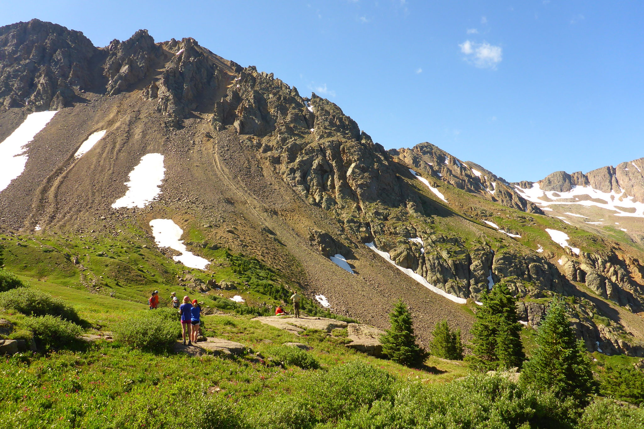
Climbing 14ers
Nearly 75% of the visitors to Chicago Basin plan to climb the nearby “Fourteeners”: Mount Eolus (14,083′), Windom Peak (14,082′), and Sunlight Peak (14,059′). All 3 of the 14ers will get your heart pounding—in other words they are NOT easy. It generally requires 3 to 4 days to make the trip to Chicago Basin and climb the three 14ers.
Climbing these peaks safely requires careful planning, good judgment, and extreme caution. It is strongly recommended that you consult mountaineering guidebooks before attempting these peaks so you are knowledgeable of the climbing routes and risks. Keep in mind the following:
- The USDA Forest Service does not maintain trails up the peaks or recommend climbing routes.
- There is 3000′ of elevation gain from Chicago Basin to the top of the 14-ers.
- The approach trails have been improved by the Colorado Fourteeners Initiative in cooperation with the US Forest Service.
- A great resource for the most recent trip reports can be found at 14ers.com.
Wildlife Encounters
Since Chicago Basin is such a high use area, any type of wildlife can become habituated to humans. It is important that visitors NEVER feed or approach wildlife. If approached by curious critters, it is best to try to scare them off by chasing, yelling, and/or throwing sticks at them. What starts out as a curious critter can become bold and aggressive. Animals can carry diseases and even a little bite can lead to serious infection. Plus, habituated animals can linger around your camp making for an unsettling camping experience. Food should always be stored in a bear hang or bear-proof container in order to discourage all animals.
Rocky Mountain Goats
In pursuit of salt from our urine, goats have overpopulated the basin which damage the ground and vegetation. The solution is to urinate well away from camp, on a rock surface if possible, so the goats don’t disturb the vegetation and ground so much. You will enjoy their visit much more if they are not rampaging through your camp!
Marmots
Marmots are common in Chicago Basin, and they may chew up gear to obtain salt. Hang your gear when you leave camp since marmots can’t climb trees.
Bears
Although bears are infrequently seen in Chicago Basin, as a matter of principle it’s a good idea to hang your food or store it in specially designed bear-resistant canisters. How to properly hang your bear bag? Do your best to hang food bag from tree limbs 12 feet off the ground, 6 feet from the tree’s trunk, and 6 feet below the supporting limb.
Porcupines
These critters like to chew on just about anything including tents. They generally live in trees but occasionally take a walk in the woods. Before making camp, look around for evidence of porcupines—mainly partially denuded tree trunks.
Red Fox
Red foxes are naturally curious and can easily become habituated to humans. If you see a curious fox, try to scare it away. DO NOT FEED IT. Not only could it kill the fox, it is illegal in the state of Colorado.
Flies
Flies are sometimes a big nuisance, usually while hiking from the train stop to about 10,500 feet, so having fly repellent and/or a head net along is useful.

Safety Information
Weather
The San Juan Mountains have a summer monsoon season that generally begins in early July and lasts until late August or early September. Afternoon thunderstorms are almost a daily occurrence in the mountains during this period. At times, it can rain continuously for days. Check the long-term weather forecast before you leave. The closest town is Silverton, which is at 9,300′. Chicago Basin is about 10 degrees cooler than Silverton, and more likely to receive precipitation.
Altitude
Visitors from lower elevations often underestimate the effects of altitude on their health and physical abilities. It is not uncommon for trips into Chicago Basin to be shortened due to lack of acclimatization to thinner air. One thing many people don’t understand is that physical fitness affords no protection against altitude sickness. Visitors to Chicago Basin are urged to become familiar with the symptoms of altitude sickness, as well as its prevention and treatment, prior to their visit. Check out Outdoor Action Guide to High Altitude: Acclimatization and Illnesses for more information.
Maps and Guidebooks
Not all trails are signed, and a topo map is very useful for general navigation and for day hiking in the area. For hiking to and around Chicago Basin, the following maps are recommended:
- National Geographic Map #140 “Weminuche Wilderness”
- Colorado 14ers Series Topographic Hiking Map: Mount Eolus, North Eolus, Sunlight Peak and Windom Peak
- USGS 7.5-minute topographic maps or the new Apogee maps for the area: Mountain View Crest, Columbine Pass, and Storm King Peak
Maps and guidebooks for the Chicago Basin area are available by phone or mail from the our online bookstore. In Durango, stop by the SJMA Bookstore, which is open weekdays 8 to 4:30. It is located at the San Juan National Forest Headquarters at 15 Burnett Court.
Volunteer Opportunities
The San Juan Mountains Association seeks volunteer ambassadors in Chicago Basin. Volunteers ride the Durango & Silverton Narrow Gauge Train (D&SNG) to Needleton, and backpack 6.5 miles to the Basin. They talk with visitors about Leave No Trace practices, applicable regulations and recommended practices, and provide trail information. SJMA offers training for volunteers who would like to enjoy the mountains and “give back” something in return. The D&SNG provides free tickets for volunteers. The program begins in mid June and ends in late August.
*Volunteers must be in good health and able to hike and backpack at high elevations. Minimum hiking distance to enter Chicago Basin is 6.5 miles and a 3000 ft. elevation gain.
Contact SJMA’s Volunteer Coordinator at volunteer@sjma.org to find out more about the training and how to apply.

